
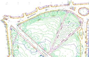
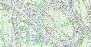
LandFile technologies provides topographic surveying to define the earth’s natural physical features and the built environment. We employ modern precise instruments in GPS and Total stations. We also employ multi-beam bathymetric sonars for hydrographic surveys.
LandFile serves a very diverse range of clients including residential and commercial property developers, civil design engineers and architects, and governments at the state and local levels.