Landfile technologies is a Surveying and Mapping business located in Denham Springs Louisiana and providing Surveying and Geo-information services throughout the state of Louisiana. LandFile Technologies brings great versatility and over a decade of experience.
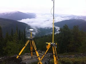
Our goal at LandFile is to serve and help make our community a better place through the power of reliable Geo-data. We want to provide quality and reliable data to the design engineers, architects, the government and to ensure that the boundaries of your real property are adequately located by adherence to standard procedures of practices. We employ the top of the line in GPS, Total Station, Sonar and software in our delivery.
Our range of services include boundary surveys, ALTA land title insurance surveys, subdivision surveys, Right-of-Way surveys, Topographic Surveys, Construction Stakeout, As-built surveys, GPS services, Elevation Certificates, No-work affidavits among others. We offer hydro-graphic survey services for both single beam and multi-beam bathymetry as well as side scan and 360° sonar for seafloor imaging.